Call opens
November 2025
O-Conference 2026
July 18-19, 2026 · Gothenburg, Sweden
during the O-Ringen opening weekend
Organized by

In partnership with



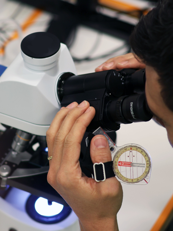
Orienteering is more than a sport of maps and movement — it is a rich laboratory for spatial reasoning, decision-making, AI, geospatial science, education, and ecological thinking. O-Conference 2026 brings together researchers, educators, practitioners, and the orienteering community from around the world to explore how orienteering inspires scientific research and higher education.
The aim is to build an international forum where ideas, methods, and results are exchanged across disciplines — from machine perception and navigation to pedagogy, mapping, sport science, and sustainability.
The program features invited speakers and an open call for abstracts, creating space for established researchers and emerging scholars alike.
And since many researchers are also orienteers, O-Conference 2026 offers a rare opportunity to merge professional work with personal passion — the conference is held just before O-Ringen, allowing participants to engage in scientific exchange one day and put theory into practice in the forest the next.
Orienteering-inspired work in navigation, spatial cognition, AI/robotics, GIS/remote sensing, psychology, physiology, operations research, and more.
Orienteering as a platform for innovative teaching and learning in STEM and beyond; curricula, labs, and outreach.
Meet researchers, educators, and federation partners to spark collaborations and future projects.
Co-located with O-Ringen 2026 — extend your stay to participate and bring conference ideas onto real terrain.
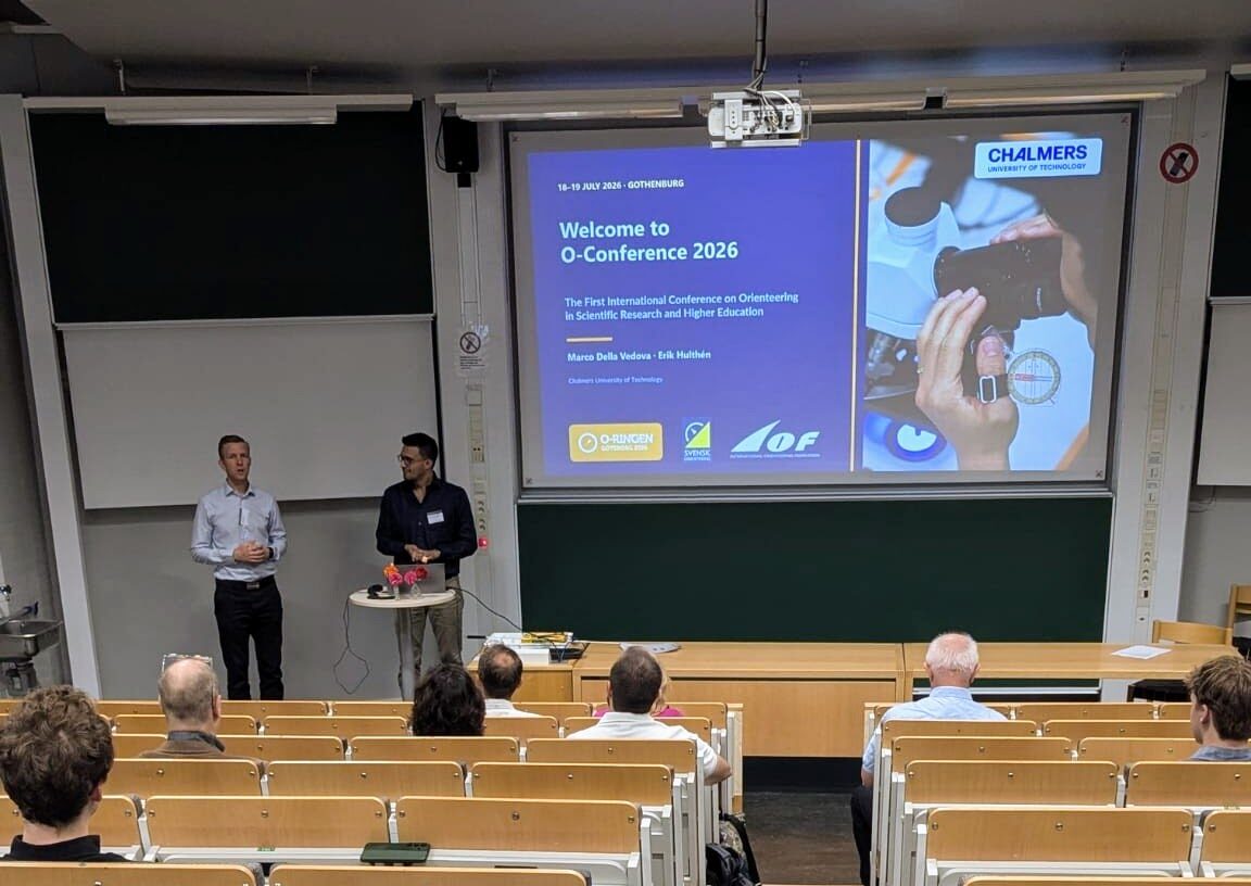
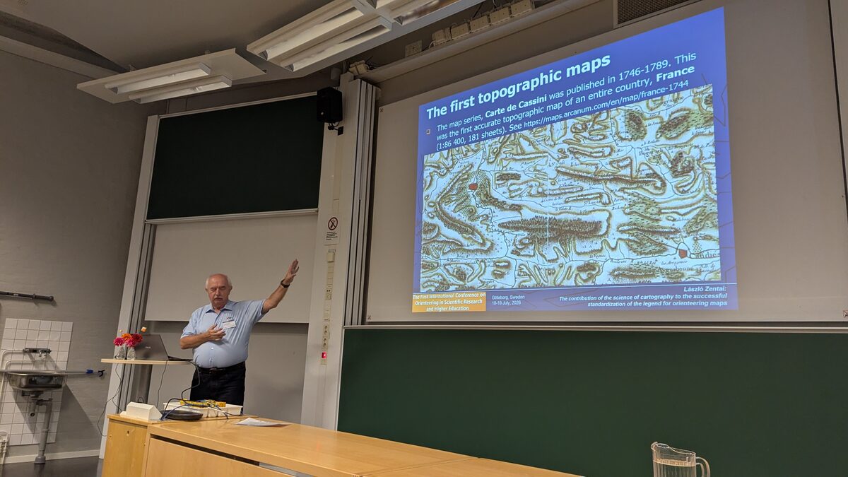
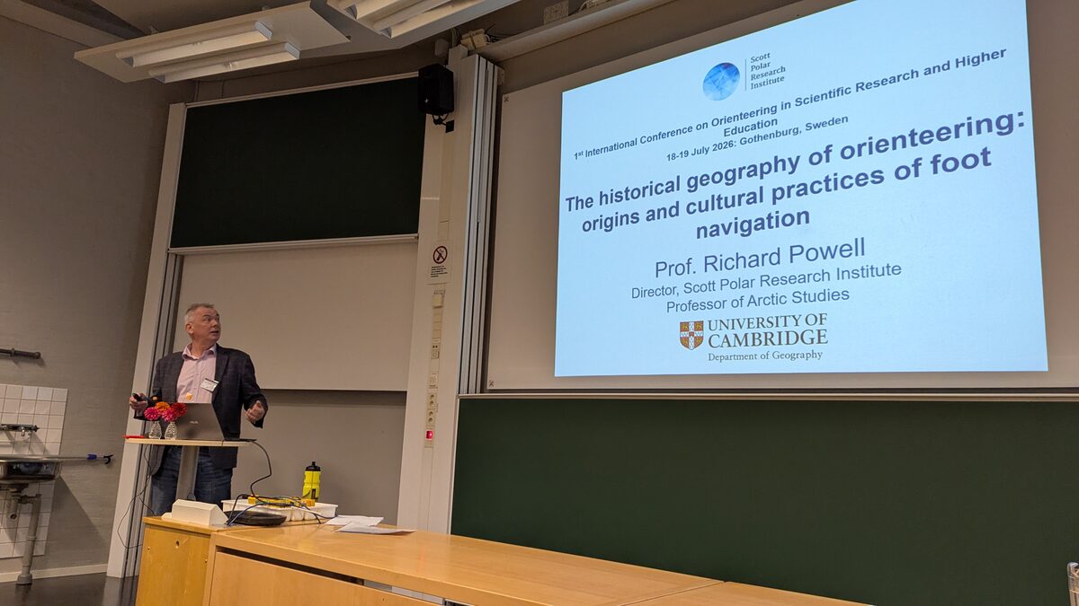
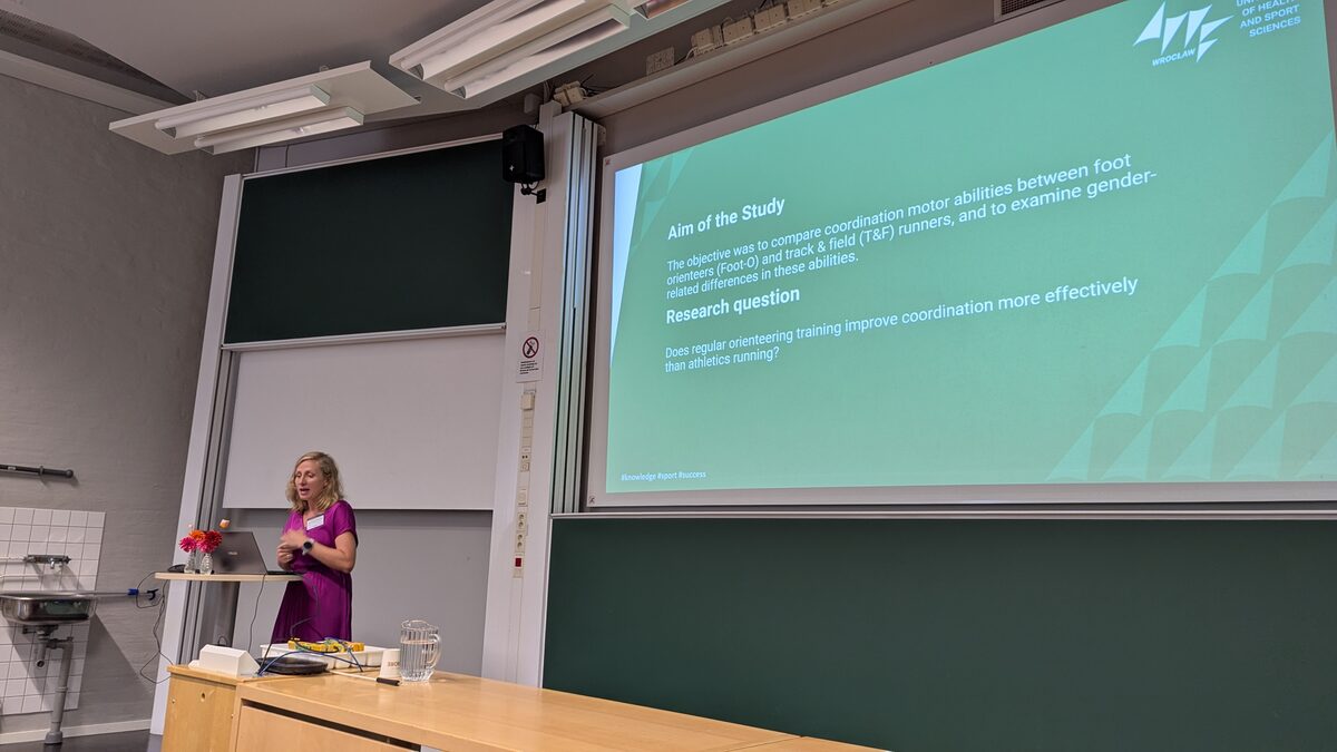
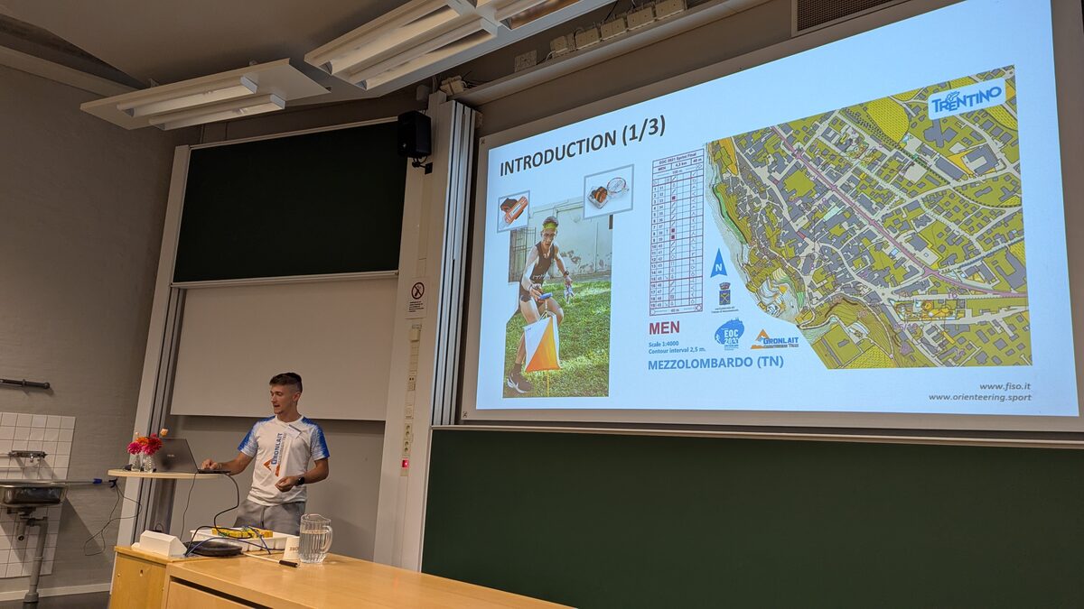
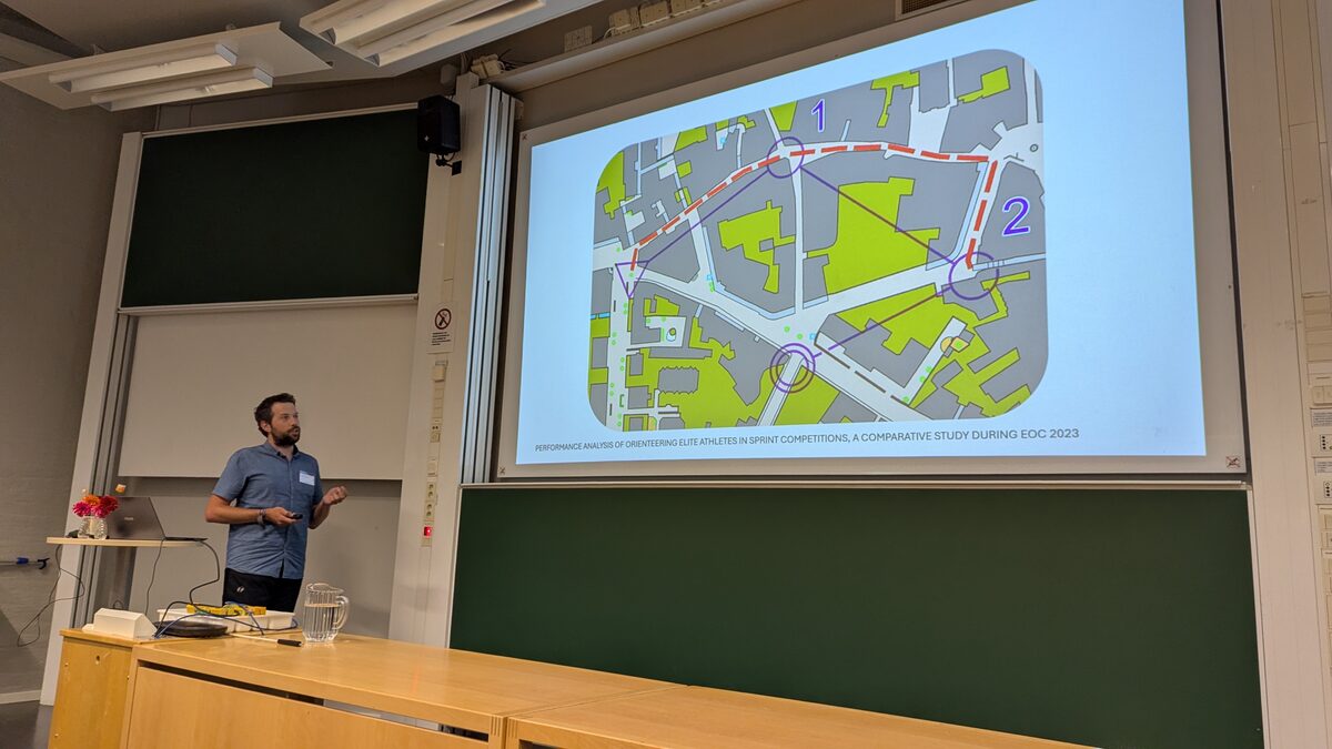
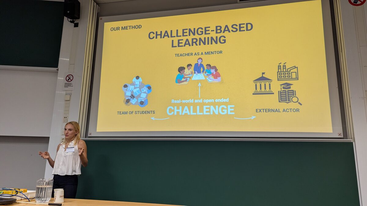
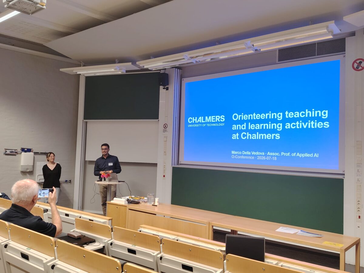
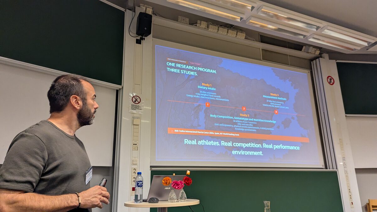
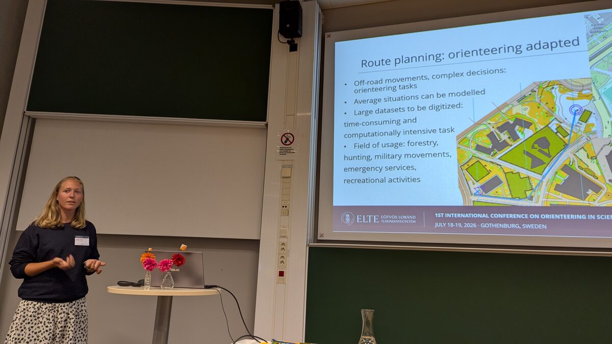
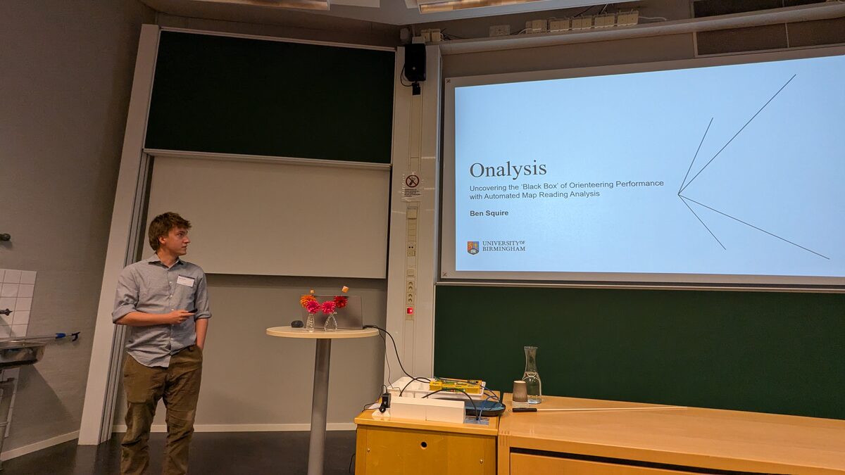
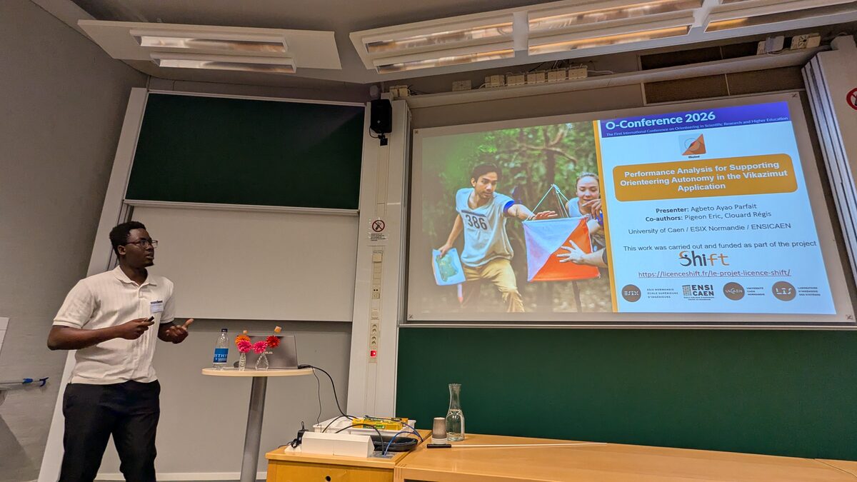
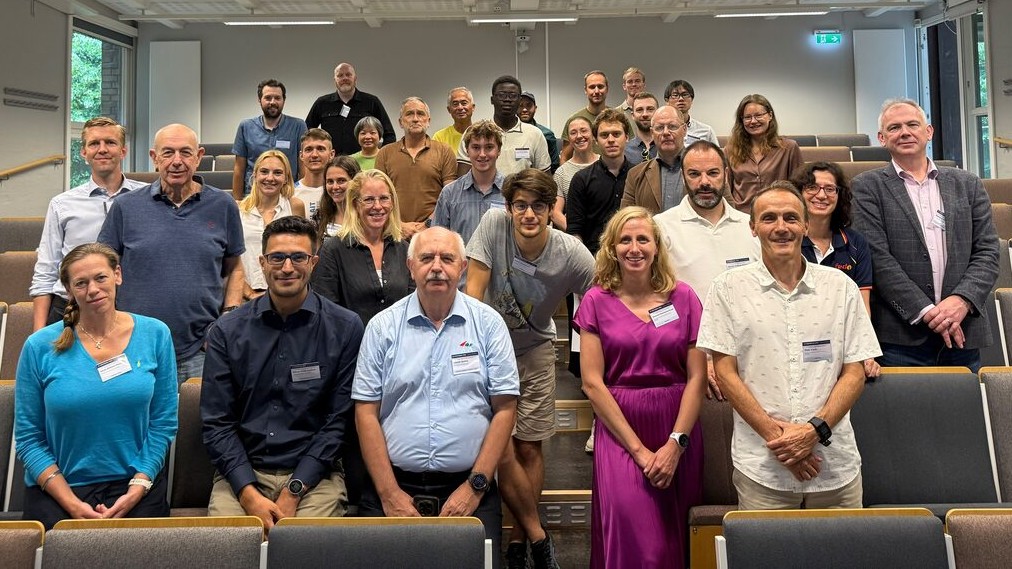
Moments from two days of ideas, conversations, and international collaboration at O-Conference 2026.
Call opens
November 2025
Submission deadline
15 April 2026
Notification of acceptance
15 May 2026
Registration deadline
30 June 2026
Conference date
18-19 July 2026 · Gothenburg
All deadlines follow “Anywhere on Earth" time.
Chalmers University of Technology · HA3 lecture hall · Hörsalsvägen 4, 41296 Gothenburg
The conference proceedings have now been published as a book of abstracts and are available on Zenodo.

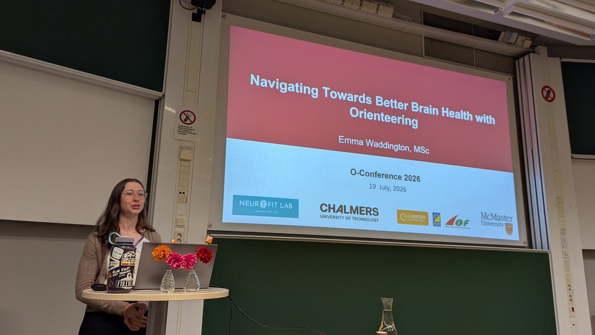
Emma Waddington
🇨🇦 McMaster University, Department of Kinesiology
Exercise enhances aspects of human cognition, but its benefits may depend on intensity. Recent animal research suggests that vigorous exercise, which releases greater amounts of lactate, activates more brain-derived neurotrophic factor (BDNF) in the hippocampus and, thus, may be optimal for supporting cognitive function. The cognitive benefits of exercise may be further augmented when combined with cognitive training. The sport of orienteering combines exercise with spatial navigation and, therefore, may confer greater cognitive benefits than exercise alone, especially at vigorous intensities. Our past work shows that expert orienteers report greater spatial memory abilities and more frequent use of desirable spatial navigation strategies (both allocentric and egocentric spatial processing) than active, non-orienteering controls. Because orienteering is often described as a “sport for life”, long-term participation in the sport could provide continuous rehearsal of effective navigational strategies. However, acute bouts of vigorous exercise alone have also been shown to increase cognitive function and BDNF in young and older adults. We therefore examined whether an acute bout of vigorous orienteering elicits even greater cognitive and BDNF responses than vigorous exercise without navigation or moderate intensity orienteering. Sixty-three recreationally active, young adults (Mage = 21.10±2.75 years) with no prior orienteering experience completed a 1.3 km intervention course by navigating and exercising at a vigorous (80–85% heart rate reserve (HRR)) or moderate (40–50% HRR) intensity or exercising vigorously without navigation. When comparing pre- to post-exercise measures, both vigorous-intensity exercise and vigorous-intensity orienteering elicited greater peak lactate and greater increases in BDNF than moderate-intensity orienteering, and individuals with higher peak lactate also had greater increases in BDNF. Spatial memory increased only after vigorous-intensity orienteering, suggesting that vigorous-intensity orienteering may particularly benefit spatial cognition. Overall, the results demonstrate the benefits of vigorous exercise and navigation on human cognition and BDNF.
Read more about Emma's work in her PLOS One article (2024).
László Zentai
🇭🇺 Eötvös Loránd University
The first civilian orienteering competition was held nearly 130 years ago.
In the early decades, the competitions used the existing maps of the respective countries, namely the official
topographic maps. Moreover, at that time, these maps were classified in most European countries, but in the Nordic
countries, they had been publicly available since the mid-19th century.
During the Cold War period following World War II, topographic mapping became even more important, but secrecy remained
a constant feature (in the countries of the Eastern Bloc, such maps remained classified until the 1990s). Advances in
aerial photography and stereophotogrammetry had by this time made it possible to produce increasingly accurate maps,
particularly in terms of contour line representation. The sport was growing in popularity, and the first competition
maps specifically designed for the orienteering had already been produced in the Nordic countries.
The cost of reproducing colour maps has also decreased, and as the number of participants in orienteering competitions
has grown, printing colour maps has become increasingly affordable for larger orienteering events.
Following the founding of the IOF in 1961, international competition began with the 1962 European Championships
(although such competitions were already a regular occurrence in the Nordic countries by that time), and it became
increasingly clear that standardizing the map specifiation for orienteering maps was the most urgent task. In 1965, the
IOF Map Committee was established, comprising experienced experts delegated by the countries with the most experience in
the sport, who, based on their cartographic knowledge, articulated the following principles:
- The orienteering maps must show the actual situation.
- They must show all visible features that are easily identifiable and useful for the competitors.
- It is very important to show all details that effect the route choice.
- The legibility is most important: leave out all unnecessary features.
- The maps of the international events have to use the same legend in all countries.
Thanks to digital technology, cartography has advanced significantly since then, and orienteering
has become a globally practiced sport. However, the principles regarding orienteering maps formulated by the IOF Map
Committee established a set of general cartographic guidelines that remain valid to this day.
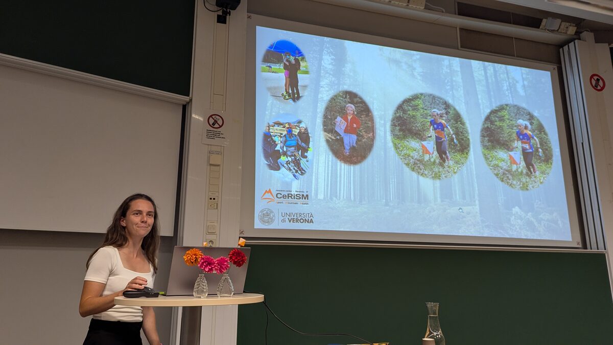
Jessica Lucchetta
🇮🇹 University of Trento
The gap between the skills demanded by the job market and the outcomes of traditional university curricula is widening, driven by a global landscape of rapid digital transformation and artificial intelligence. For graduates in STEM disciplines (Science, Technology, Engineering, Mathematics), technical proficiency is no longer a standalone guarantee of success and employers are placing a growing emphasis on transversal competencies, such as resilience, complex problem-solving, strategic communication, and team-based adaptability. Conventional academic curricula struggle to satisfy this need and traditional education models have been argued to be insufficient to simulate the high-pressure, ambiguous, and interpersonal environments of the modern workplace. To address this problem, active learning methodologies have emerged, and Challenge-Based Learning (CBL) is gaining popularity in higher education. In CBL, students work in teams to tackle complex, multidisciplinary challenges proposed by external actors to develop concrete solutions. Through this process, students foster collaboration, critical thinking, and creativity, connecting theoretical knowledge with practical application while developing transferable skills and professional dispositions. At the same time, the literature highlights the educational value of sport as a learning tool. In this context, the sport of orienteering stimulates competencies like strategic planning, time and resource management, resilience, and self-regulation in uncertain contexts. While previous studies have highlighted that both CBL and orienteering can stimulate skills that align with job profiles, their integration into a single pedagogical framework targeted at STEM students remains a novel and largely unexplored area of research. To leverage the combined potential of these two approaches, our team has explored the integration of CBL with orienteering. Building upon our "Choose Your Own Adventure in CBL" (CYOA-CBL) framework developed over the past years, in 2024, we tested this integration through a pilot activity at the University of Trento, in collaboration with the orienteering club PWT Italia. The four-week program included one week of in-person activities followed by three weeks conducted online with 20 international Master's students from various disciplines. Participants were asked to engage with orienteering and identify social benefits that the sport and the club could generate beyond athletic performance. They were immersed in the world of orienteering, challenging themselves with the sport and putting into practice all the skills necessary to successfully complete orienteering activities (e.g., strategic planning, time management, decision-making under pressure). This design required students to manage both the CBL challenge and the hands-on, real-world activities of orienteering, creating a powerful environment for navigating project uncertainty. Anonymous individual and group feedback demonstrated the high potential of this intersectoral approach where academia and the sports world co-design educational experiences. This pilot confirmed the model's feasibility and provides a solid foundation for this research: first, it tests whether a novel pedagogical framework can help bridge the gap between academic knowledge and the market's demand for transversal skills; second, it tackles the complex challenge of how to assess these skills, providing an actionable tool for the STEM education community.
Read more about Jessica's work in her SIGCSE contribution (2026).
Host city
Sweden's west-coast capital blends a vibrant academic environment with leafy parks, harborside promenades, and a compact city core.
The conference takes place at Chalmers University of Technology in the HA3 lecture hall, at Hörsalsvägen 4, 41296 Gothenburg.
The venue is on the Chalmers campus and is easy to reach from central Gothenburg by tram or on foot.
Get directions in Google Maps.
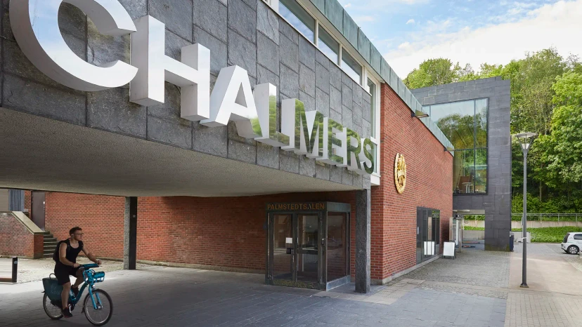 Chalmers Entré
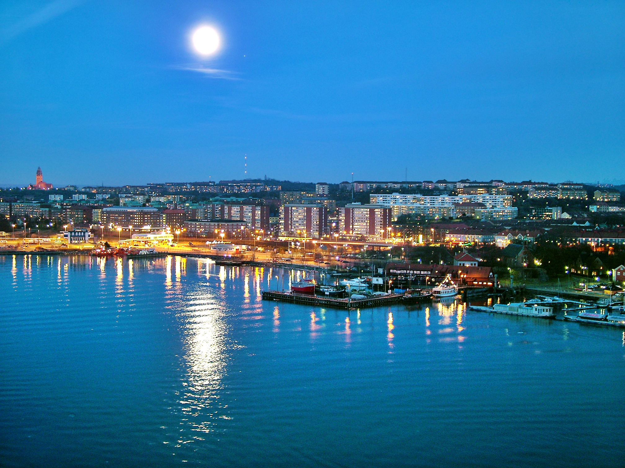 Gothenburg panorama
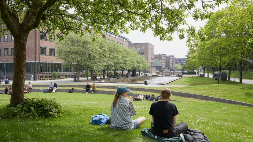 Chalmers campus
Contribute!
Researchers, academics, practitioners, and industry partners are invited to contribute to the first international forum dedicated to orienteering-inspired science, education, and innovation.
Early career researchers and research students are especially encouraged to submit.
Contributions may be theoretical or empirical, classroom pilots or interdisciplinary collaborations, and previously published work is welcome if adapted for this community.
* Note that this conference is NOT about teaching orienteering. It is about how to use orienteering as a tool for teaching something else.
Submission deadline (15 April 2026) has passed.
Submission portal is now CLOSED.
Guide for contributors
Contributors are invited to submit a one-page abstract that includes the following elements:
Accepted abstracts will be presented at the conference. The presentation must be accessible to a broad audience.
All accepted abstracts will appear in the program and digital conference proceedings (published as a technical report).
Attendance at O-Conference 2026 is free of charge
To help us plan the event, we ask all participants to register by 30 June 2026.

Marco Della Vedova
Conference Chair, O-Conference 2026
Chalmers University of Technology
marco.dellavedova@chalmers.se mldv.it